Summary
A brief description of the Missouri Breaks area in Montana.
Provided by Bob Ehrhart
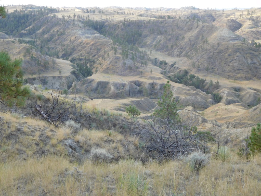
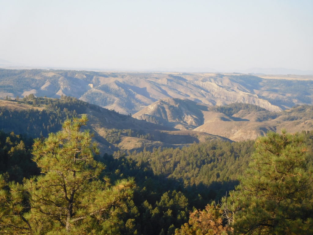
When I lived in Montana, I used to say “Central Montana has lots of topography—it just often goes down rather than up.” I recently spent some time in a part of the country which epitomizes that thought, an area known as “the Missouri Breaks.” Extending along and behind the river west of the Charles Russell NWR, the Breaks are a highly dissected landscape formed primarily from ancient sediments (a combination of thick weak shale layers alternating with thin layers of strong sandstone) transformed by a variety of past geological activities, downcutting by the Missouri River, and subsequent erosion. The word “breaks” refers to landforms that erode or break away from uplands to the river bed below. It is as rugged a landscape as one could find anywhere in the Lower 48. Major drainages are steep canyons as deep as 600 to 800 feet. The upper portions are rolling terrain with frequent incisements. Vegetation is predominantly short/mid prairie grasses, sagebrush and greasewood. Ponderosa pine, Douglas fir, and juniper are present in the coulees, but there are large portions of “badlands” terrain with limited-to-no vegetation. Although we saw only a few bighorn sheep, the area is said to have large numbers of elk, mule and whitetail deer, and a wide range of other wildlife. For me the most spectacular aspect was standing on the plateau at night and seeing NO evidence of human-caused lights for 360 degrees. Just stars, stars, and more stars, and the Milky Way as clear as I’ve ever seen it.
Following the Lewis and Clark Expedition’s passage in 1805-06, the Missouri River became a major transportation corridor for trappers, traders, gold-seekers and eventually settlers. Because of their inaccessibility, however, there was limited white settlement in the Breaks themselves. On the other hand, Native Americans must have used the resources throughout the Breaks for thousands of years. In 1877 during their attempt to reach Canada the Nez Perce crossed the river in the Breaks before being stopped in the Bears Paw Mountains. Today, human activity in the area is largely confined to hunters, ranchers, and the occasional curious visitors.